Nail's Crossing
Nail's Crossing
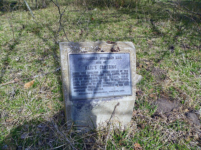
Butterfield Overland Mail site of Nail's Crossing. Here was located a stage stand of the Butterfield Overland Mail route, under act of Congress, March 3, 1857. First mail service arrived here in September 1858, enroute to San Francisco, service continued until the outbreak of the War Between the States. Oklahoma Historical Society 1958.
Location
Directions
2 mi. SW of Kenefick, Oklahoma. Marker can be reached from Nails Crossing Road, on the right when traveling west. Located well off the road behind Nails Cemetery.*
Regions
Maps
- 34.13123333, -96.3905
- OpenStreetMap
- Google Maps
- Bing Maps
- Apple Maps
- MapQuest
Pictures
Notes
More Pictures
Wikipedia: Nail's Station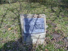
Image Source: http://www.civilwaralbum.com/indian/nail1.htm
Nail's Station was a stage stand on the old Butterfield Overland Mail route and the Texas Road in Indian Territory. Sometimes called Blue River Station or Nail's Crossing, it was located on the east side of Blue River in what is now Bryan County, Oklahoma. It was operated by Joel H. Nail, a member of a prominent Choctaw family.National Register of Historic Places
Nail's Station was added to the National Register of Historic Places (#72001059) in 1972.
Nail's Station ** (added 1972 - Site - #72001059)
Also known as Nail's Crossing on Blue River
2 mi. SW of Kenefick, Keneflick
- Historic Significance: Event
- Area of Significance: Transportation, Commerce
- Period of Significance: 1850-1874
- Owner: Private
- Historic Function: Transportation
- Historic Sub-function: Road-Related
- Current Function: Agriculture/Subsistence
- Current Sub-function: Agricultural Fields
* Description from National Register Properties in Oklahoma, Directions from National Register of Historic Places. GPS from other source, hmdb.org.

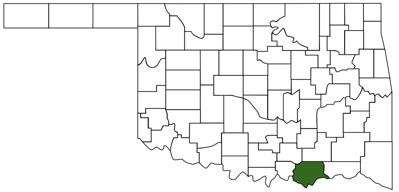 Bryan County
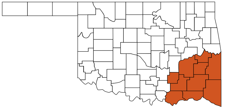 Choctaw Country
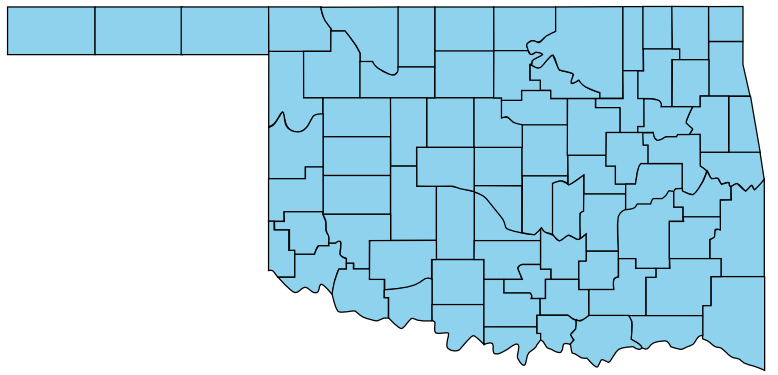 Oklahoma